sheikyerbooty
Well-Known Member
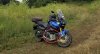
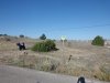
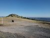
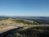
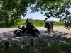
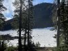
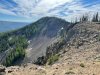
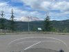
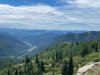
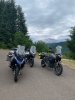
A cold but ice-free thursday arvo on Otago Peninsular.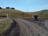
42deg C...ouch. -9 out at the airport a few mornings ago! still dont think id swap with ya!107° here yesterday.
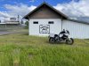
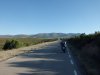
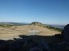
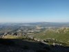
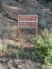
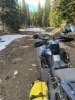
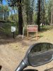
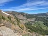
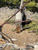
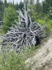
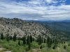
Hey holligl, That is one incredibly well-built looking bash plate/engine guard on your motorcycle! Do you care to share who manufactures it? I’ve not seen one like that. Thanks for your time.Out to explore more Carroll/Jo Daviess county back roads. Found a few dead ends and some White tailed deer.


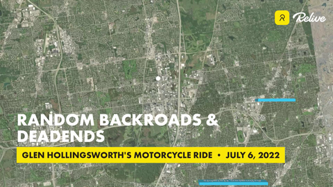
Relive 'Random backroads & deadends'
View my motorcycle ride: Random backroads & deadendswww.relive.cc
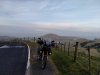
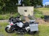
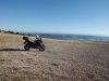
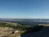
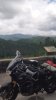
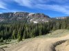
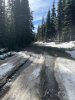
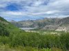
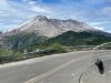
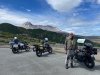
End of this road, with a small water crossing.

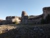
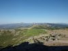
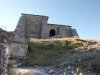
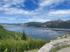
This appeared to be a private covered bridge.
Sent from my SM-N950U using Tapatalk
TABASCO on here makes themHey holligl, That is one incredibly well-built looking bash plate/engine guard on your motorcycle! Do you care to share who manufactures it? I’ve not seen one like that. Thanks for your time. View attachment 92811
 www.facebook.com
Thanks bimota, When I’m ready to upgrade my current bash plate, I may reach out to him.TABASCO on here makes them
rob
Come out and visit while he installs it.Thanks bimota, When I’m ready to upgrade my current bash plate, I may reach out to him.
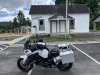
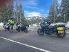
My wife is on a Can-Am also. After having an accident on her GS about 5 years ago she refused to ride till she found her new addiction, Can-Am.Great riding just south of Bobcaygeon Ontario wife on the Spyder View attachment 92926
")

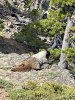
He wanted to race but just couldn't get past me.