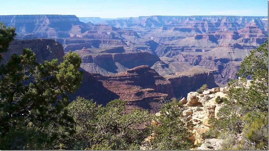
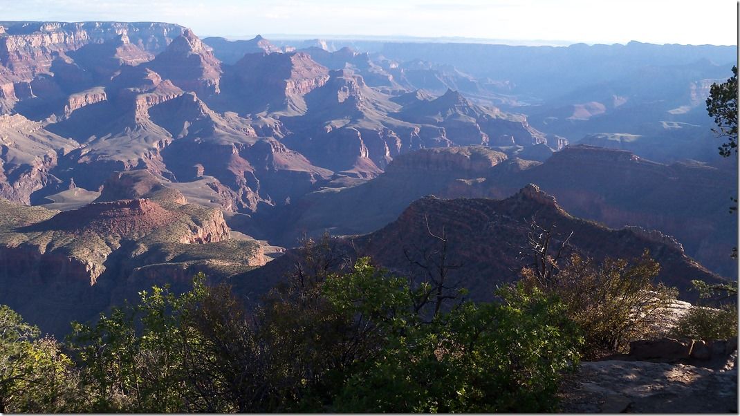
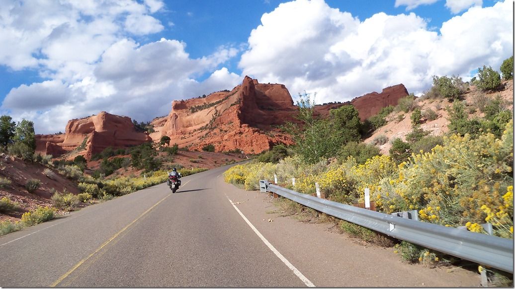
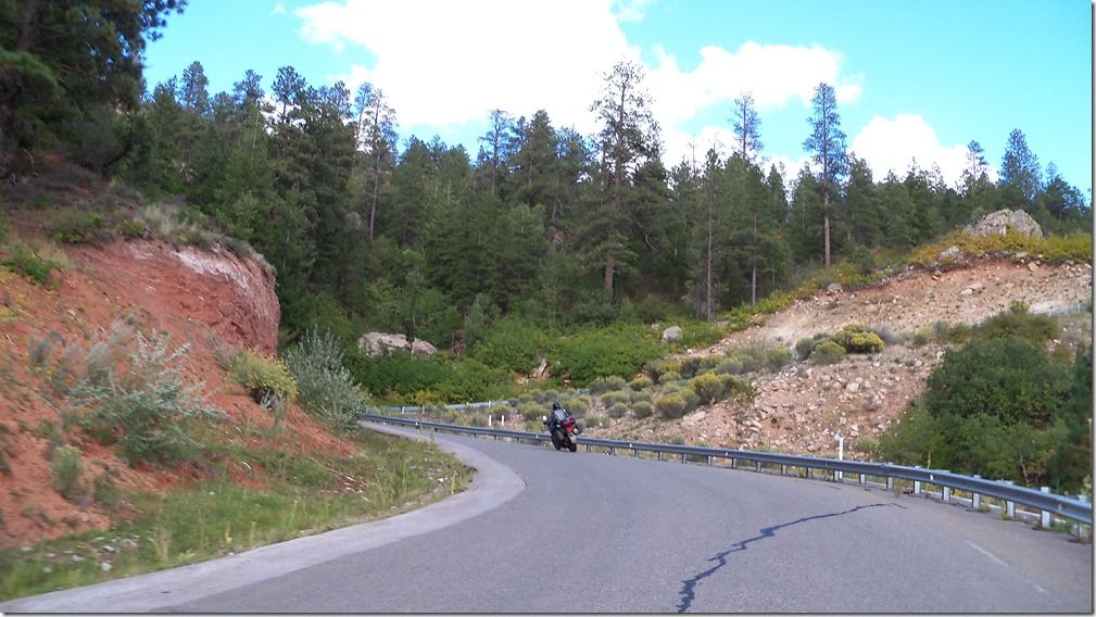
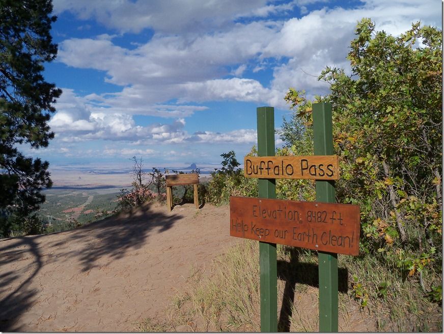
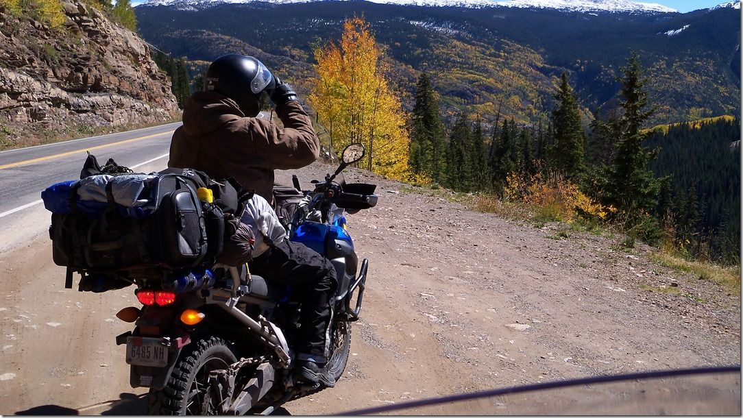
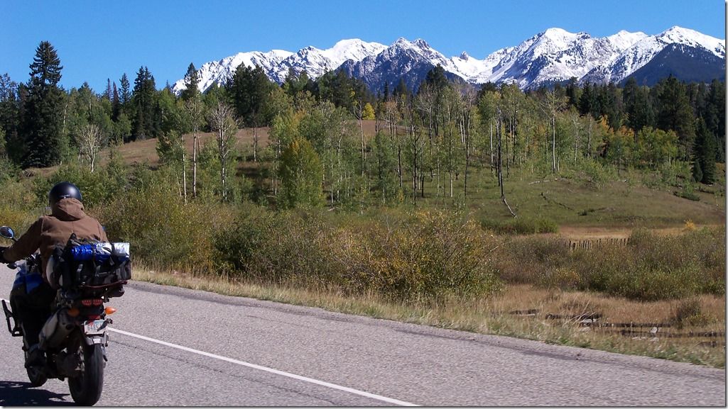
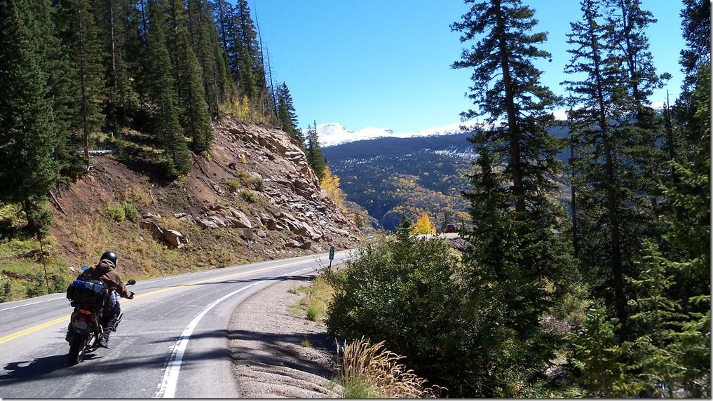
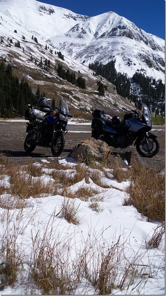
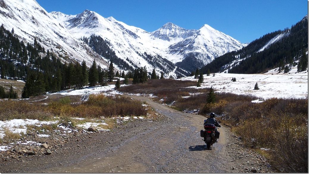
After Buffalo Pass might be the funnest 4 hours I have ever had on a bike.
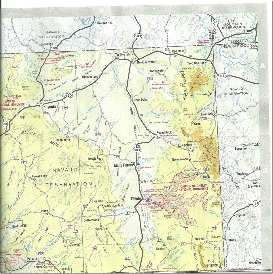
We seen on the map that there is a jeep type road going north of Red Rock.
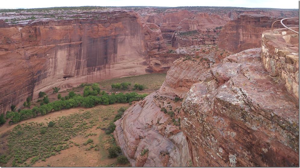
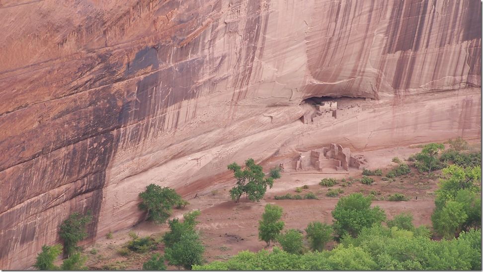
This is the map we had.
It is also on the map we had of New Mexico.
But it says Red Valley.
The problem was we couldn't find it.
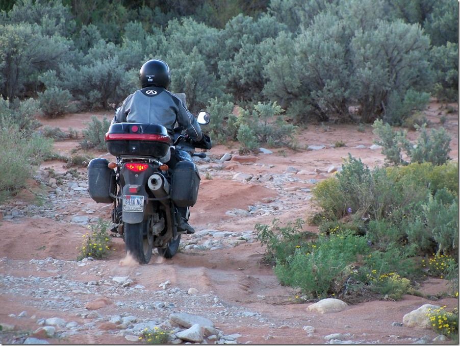
We checked out every road in the area and they all dead ended at a house. This is Navajo reservation land and to put it politely the Native Americans can live in very remote locations. So the actual roads we were on were just sand and rough which normal people would want a 4 wheel drive to be on. After not finding the through road to the north that we wanted (that’s on the map) we seen a Native American out by his house. We stopped to ask him about the road and he knew exactly what we were doing before we even asked him. He said he knows the road is on some maps but it does not exist. He said dirt bikers come through there quite often asking about the road but it has not been there for many years. He told us that about 15 years ago he actually went through on that road and it did not have any maintenance then and has had no maintenance since. He told us we wouldn’t be able to find it and kept saying it does not exist. Then Joey told him we had been down every road here and they were all dead ends so where did it start at. He told us down the road about a half mile it went up over a hump to the left, and he said a few miles back there used to be a sign that pointed the way to Behlabito. He said if you can find that sign, which he doubted, the road would split so stay to the left. He kept saying you have to go back to Ship Rock to make it around to Behlabito So as we were leaving we pulled up to the junction in the road and Joey said why don’t we go down there and see if we can find the start to that road because we have been down this road twice and haven’t seen it. He said we can always turn around if it gets to bad. I said ok, but as we were headed that way I thought (turn around, surely he was just joking). The start of the road was there right where he had told us, and he was right it was very deteriorated and hard to follow. But there was one set of fresh ATV tracks going in and coming back out, and occasionally we could see old tracks. We came to the sign he had mentioned. It was made out of plate steel and the name was cut out with a cutting torch so it should be there for many years if you are wanting to find this road. There were several splits in the road and we took one for a couple miles that totally dead ended and had to back track. I had seen a slight track heading off to our right as we came through and I told Joey we could go back and try that one. When Joey seen the slight track he wouldn’t even go up it because it was so deteriorated, so I took off up it and it looked like it continued so he followed me. Before this cut off we had seen some old ATV tracks in the sand and in different places, after this cut off there was no vehicle evidence for quite a while.
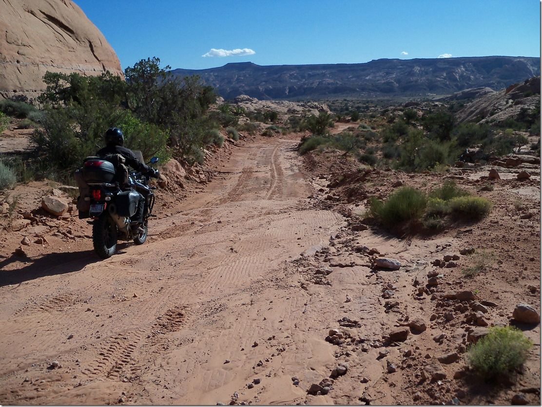
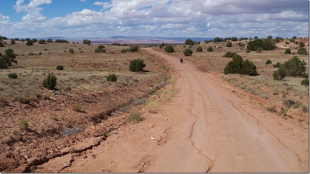
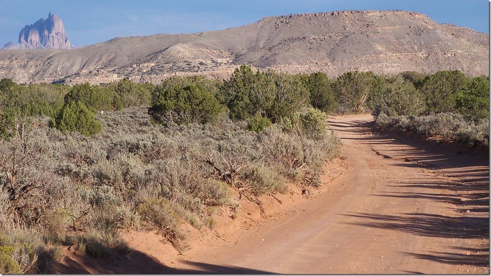
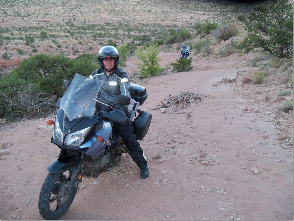
This is one of the typical roads to a house that dead end.
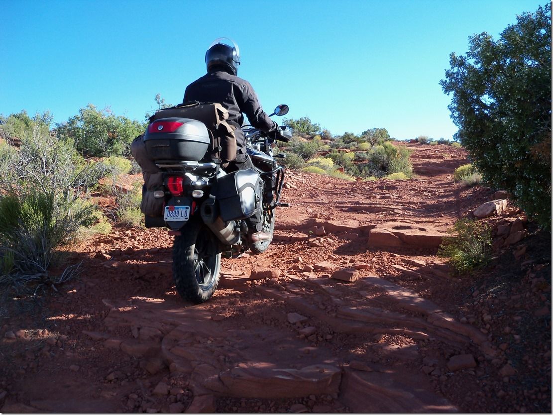
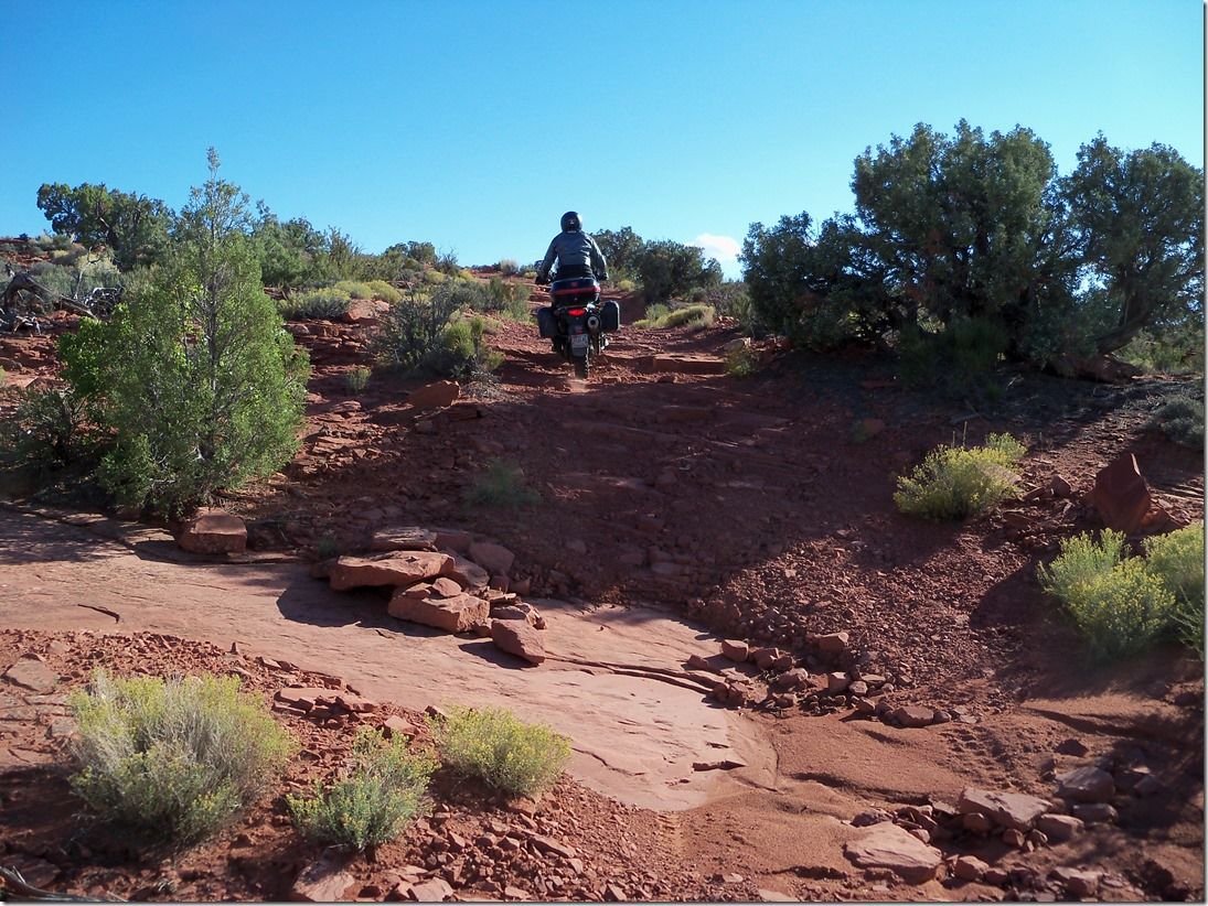
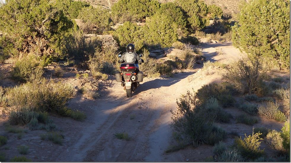
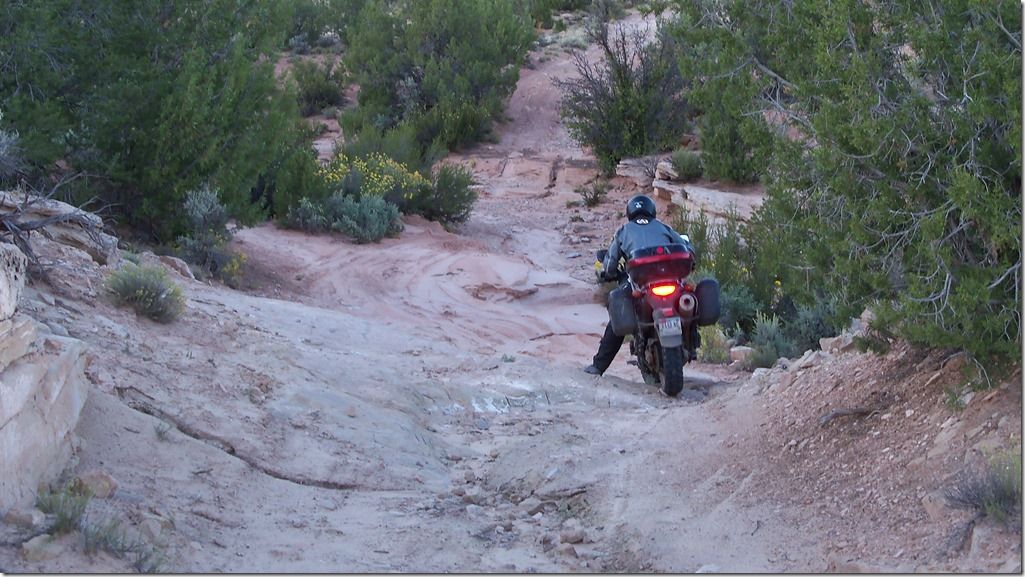
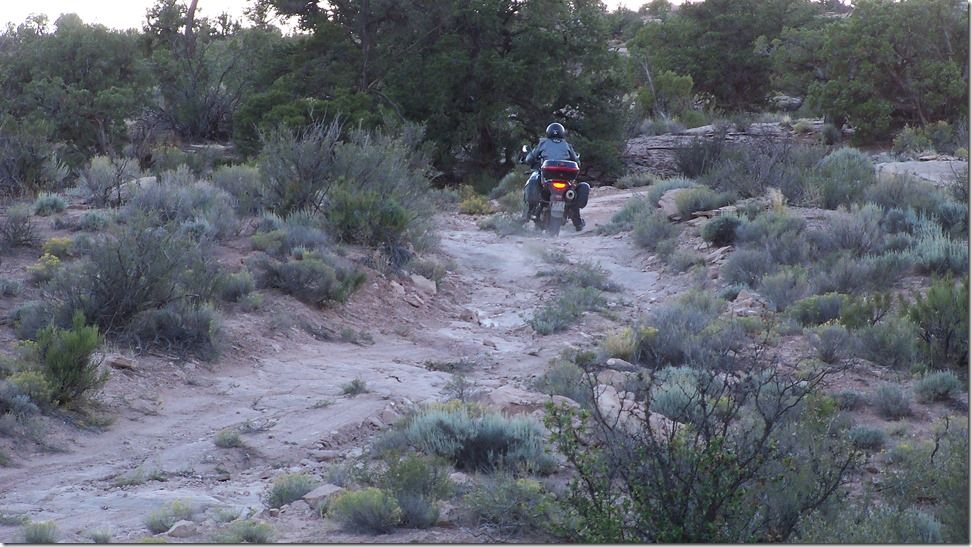
This isn’t the most difficult trail you will ever ride, most of it was very rideable and fun. There was only one spot that we could not get through without both of us taking one bike at a time. [I tried twice to do it and my inadequate riding ability stopped me both times.] The greatness of this trail [and many more out there] is the thrill of the unknown, not knowing which way to go, wandering if it was passable, where would we be camping tonight, could we ever get through?
I’ll put in a disclaimer here.
You probably already know this but it is worth repeating and thinking about. If you take off down a road or trail like this in a remote part of the country and get hurt there is probably no rescue possible short of a chopper, and if your buddy with brand x bike would break down out in here there is probably no bike recovery possible.
That being said you are really going to think I am crazy because I don’t have a cell phone, I wouldn’t have a GPS, and I do not have a Spot. Joey’s cell phone was dead with no way to charge it and no one had the slightest clue where we were at. Remember the Native American thought we went back to Ship Rock.
I can see the headlines now.
October 6, 2030 Arizona news Gazette.
Yesterday several hunters in a remote corner of northeast Arizona came across 2 skeletal remains along with 2 motorcycles. One motorcycle was unidentifiable from rust and corrosion. The other motorcycle was a museum quality Yamaha Super Tenere that fired right up when one of the hunters turned the key on and pushed the starter button. He was able to ride this motorcycle out over impassable terrain with no previous experience riding anything with an internal combustion engine. He was quoted saying later, That they must have died from thirst and starvation because he couldn’t believe how easy it was to ride this beast of a machine through that impassable terrain.
I’m full of it aren’t I? That is what I get for getting on the interstate the last day to come home. Your brain just wastes away sitting there doing nothing and seeing nothing. You might as well be riding a Road Toad [not a Hodaka], what a total waste of an awesome adventure bike.
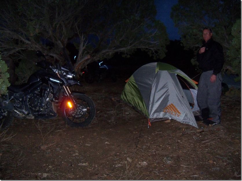
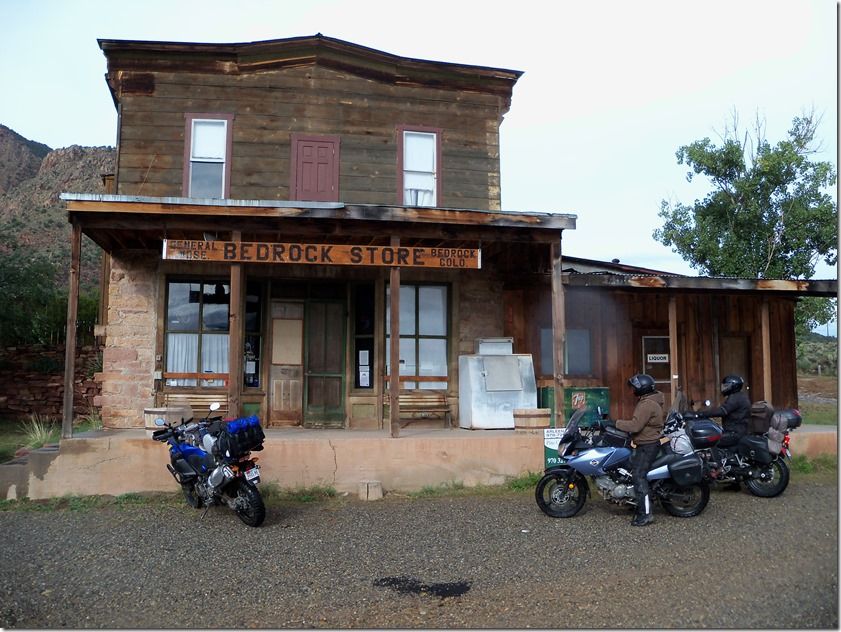
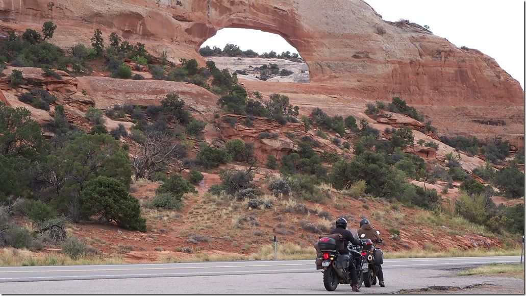
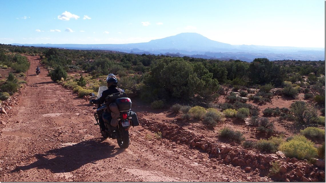
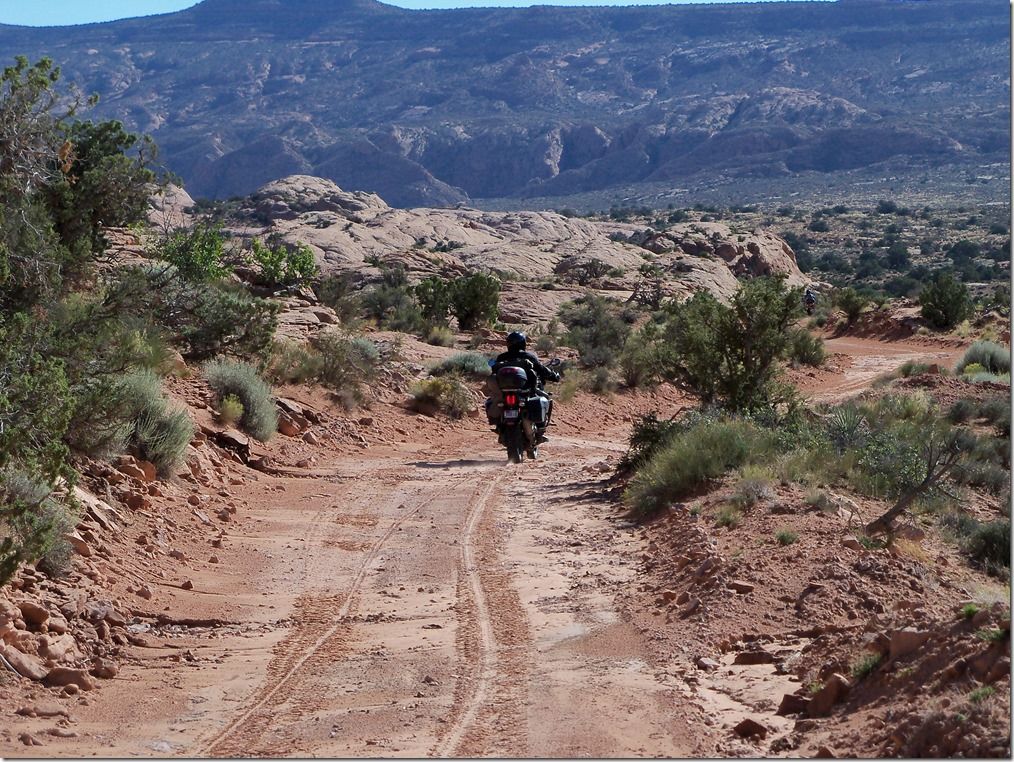
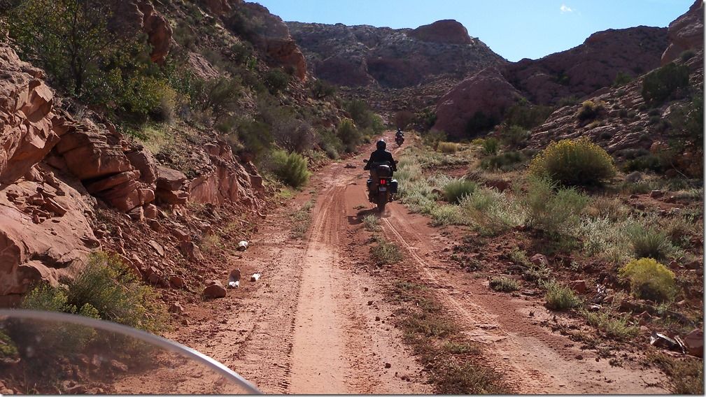
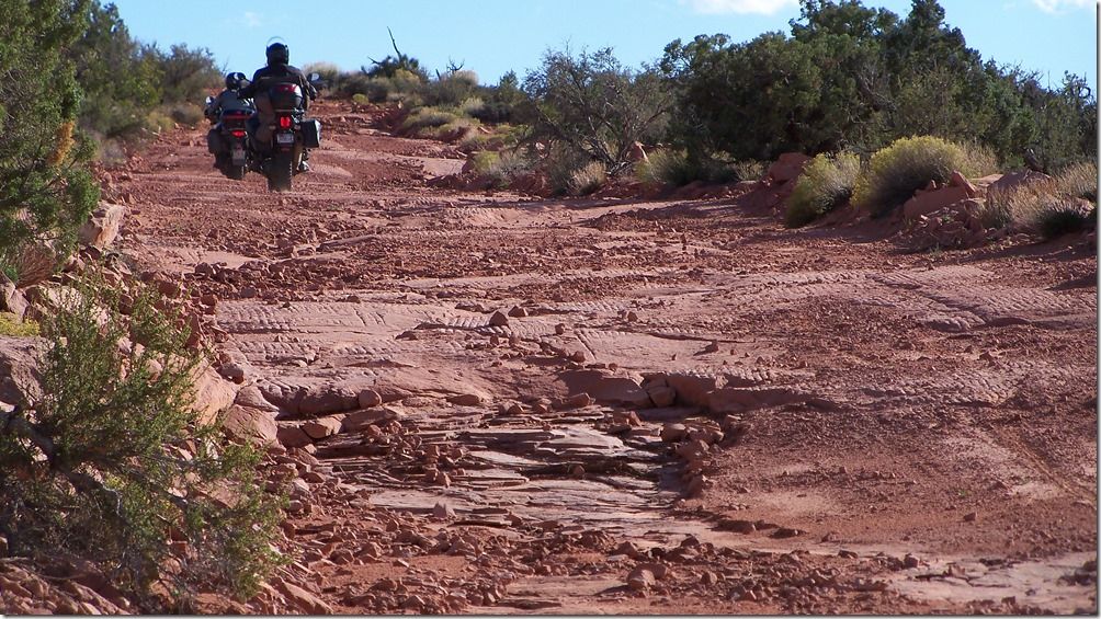
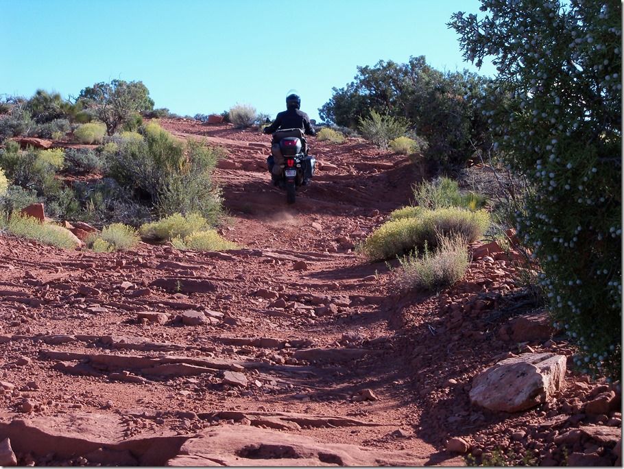
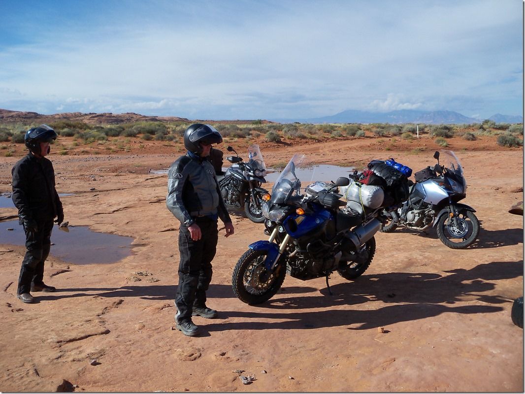
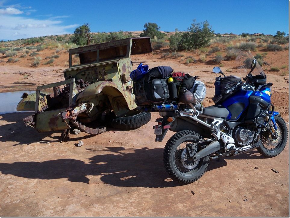
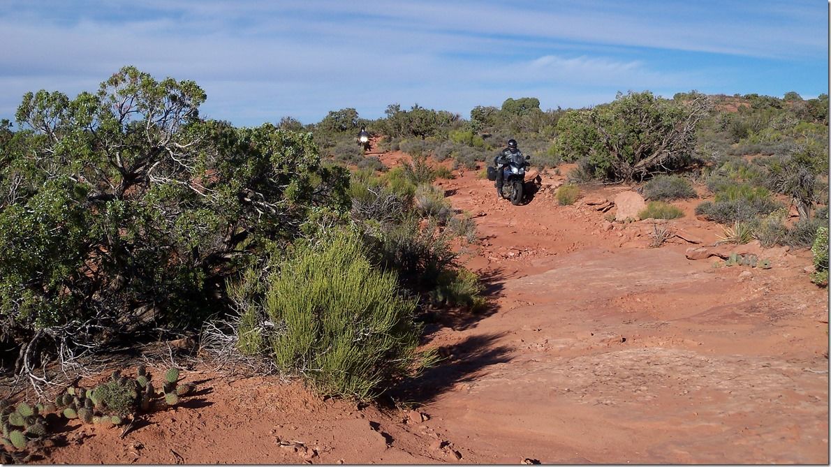
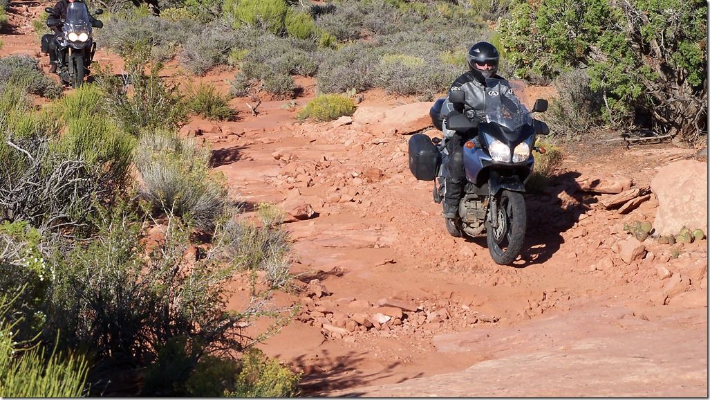
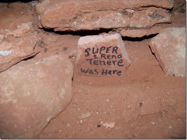
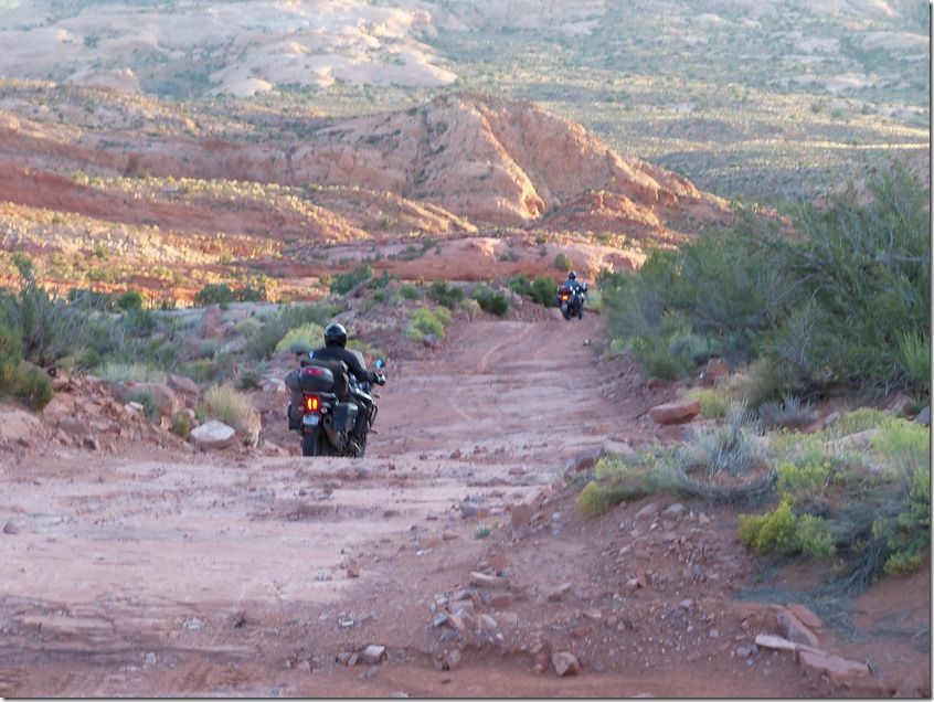
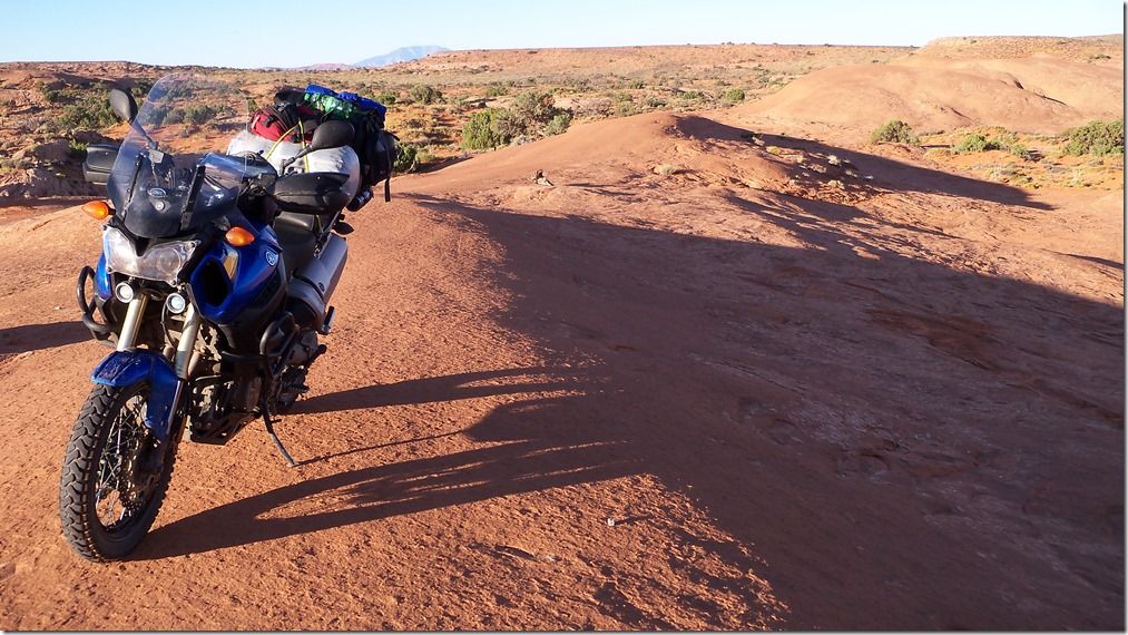
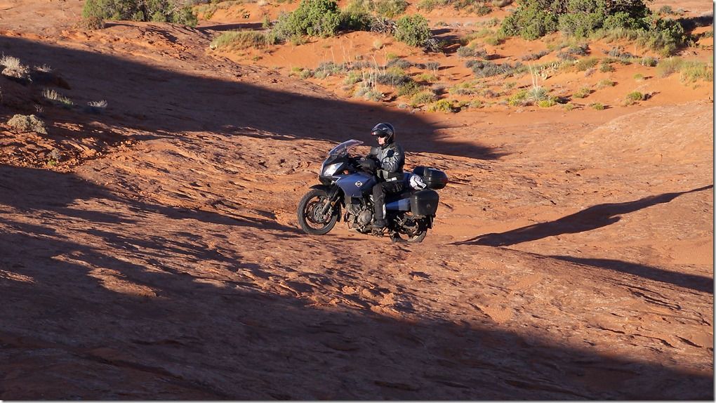
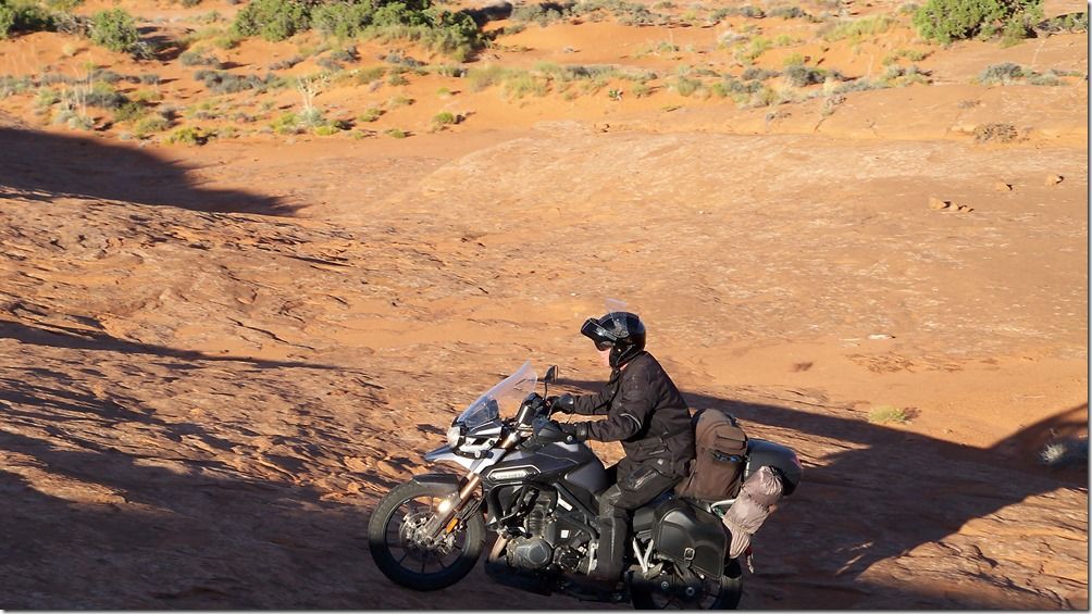
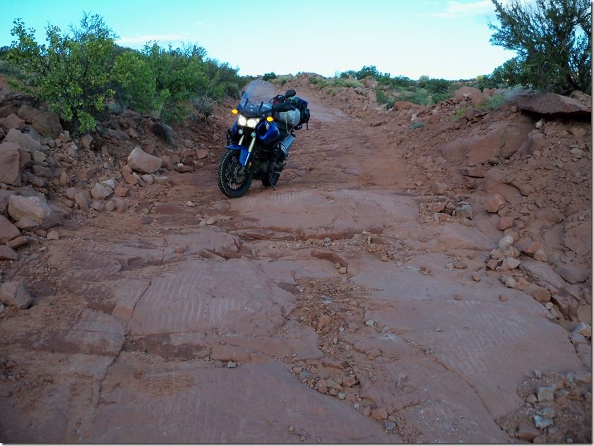
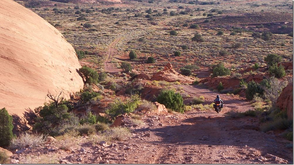
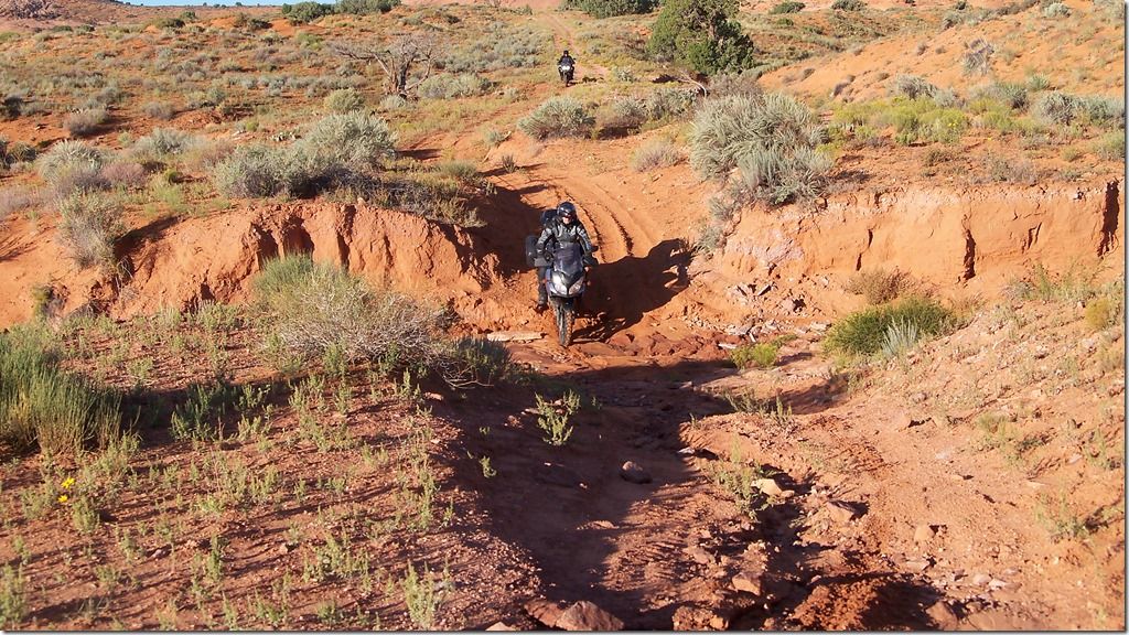
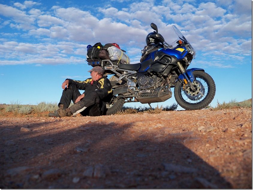
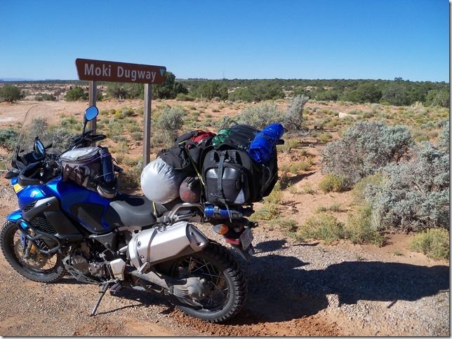
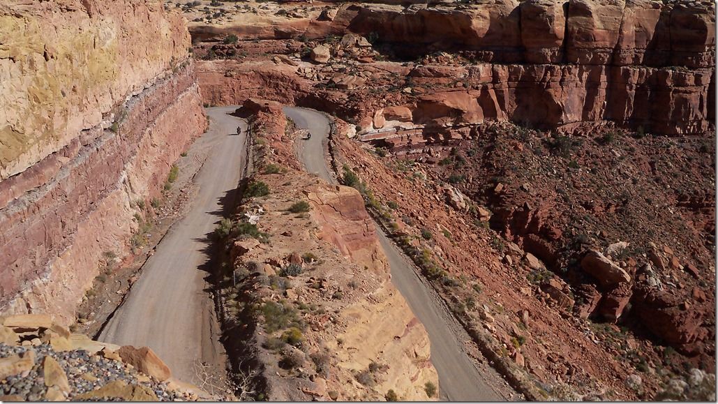
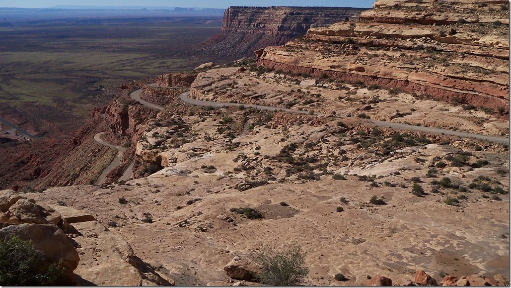
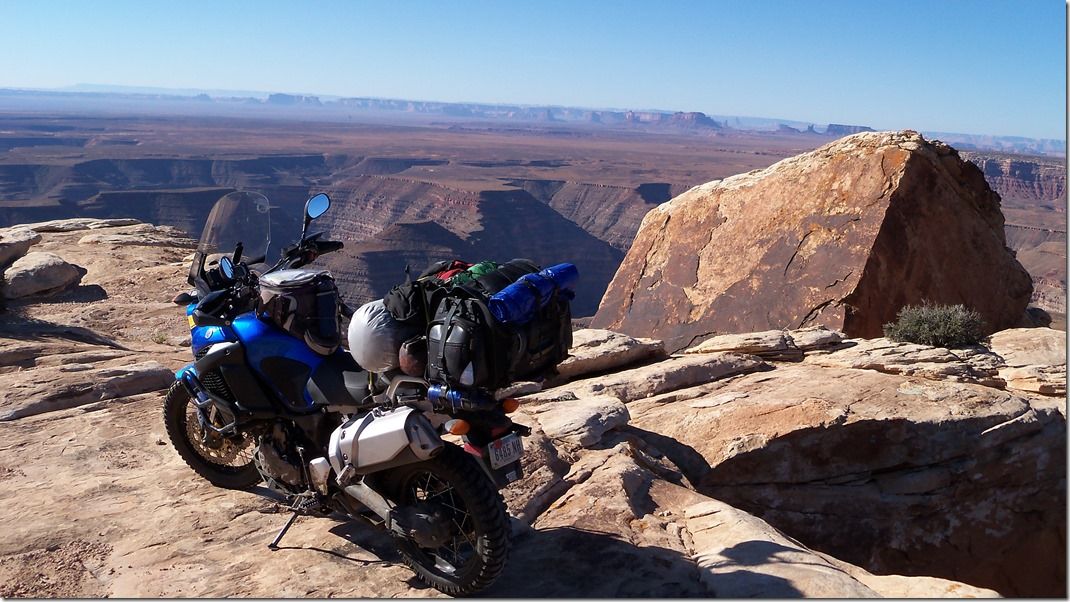
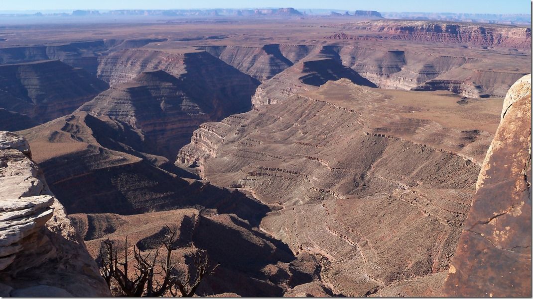
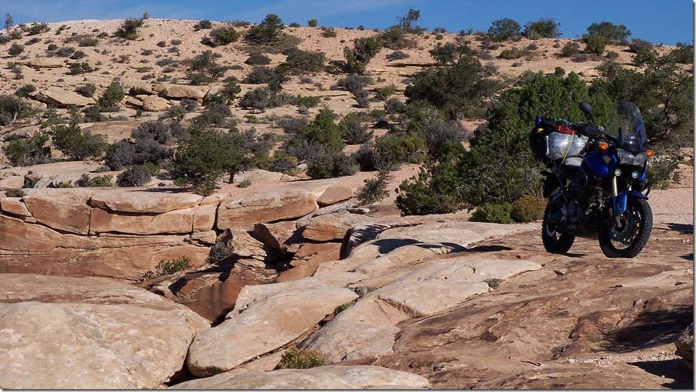
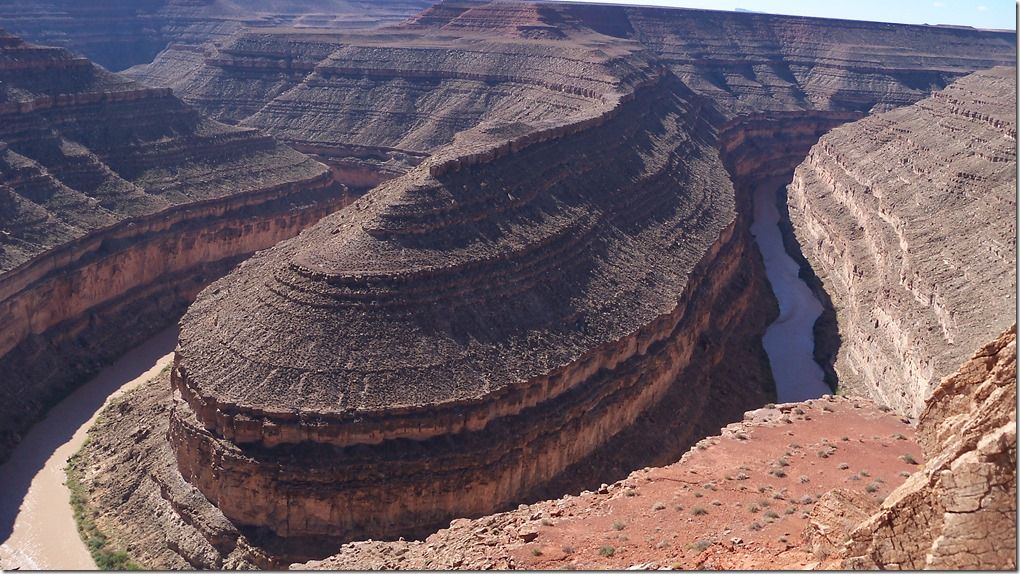
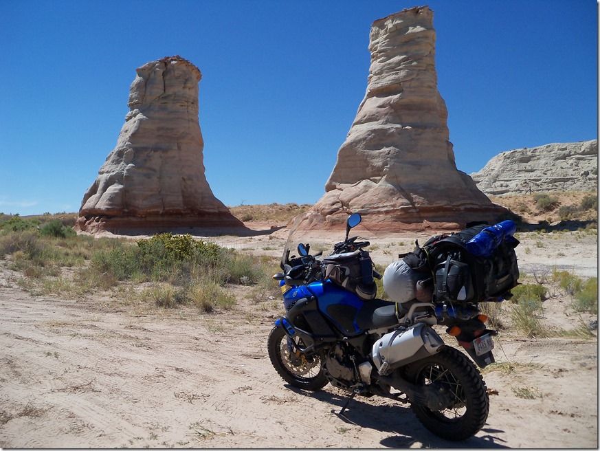
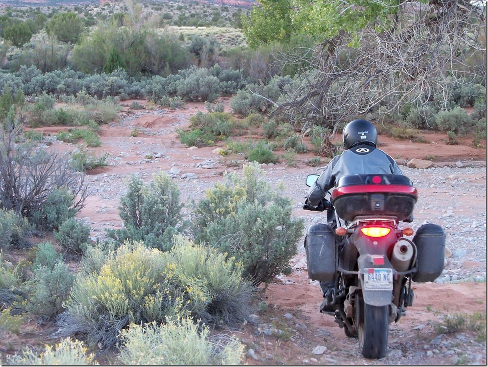
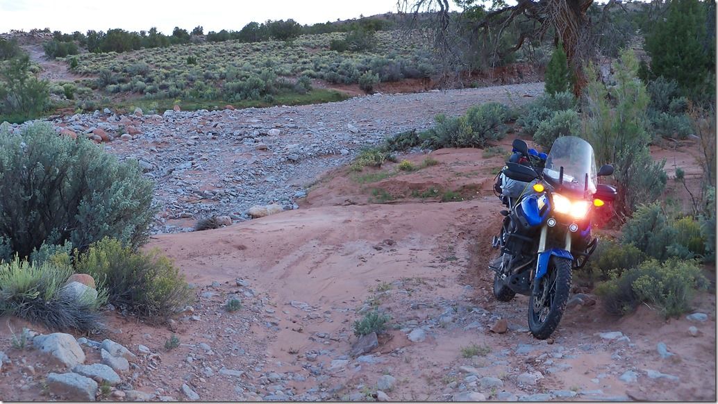
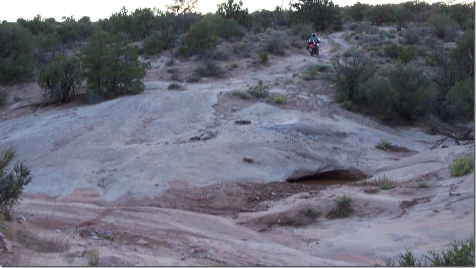
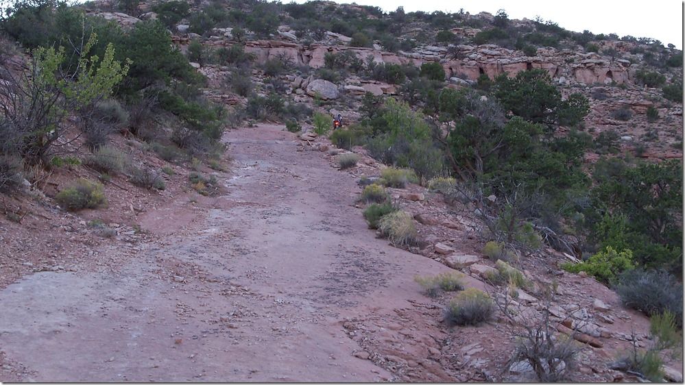
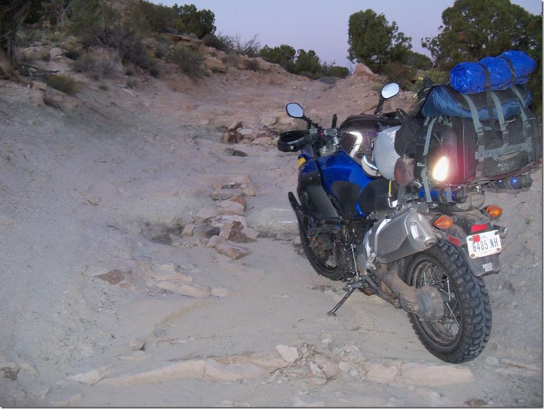
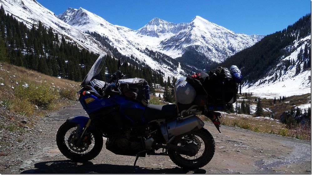
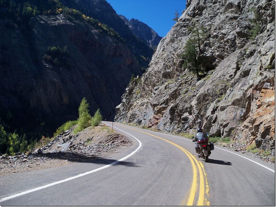
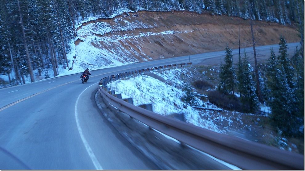
So here are some pictures of the trail.
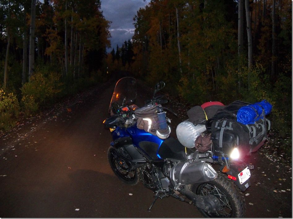
Then it got dark , Real dark.
For an hour this is all we could see.
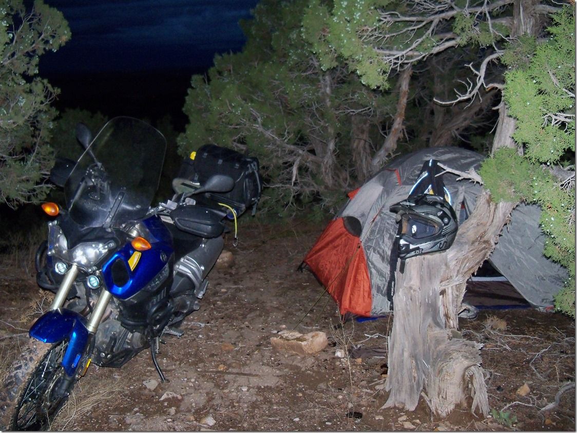
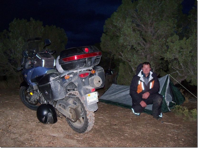
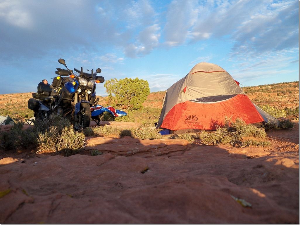
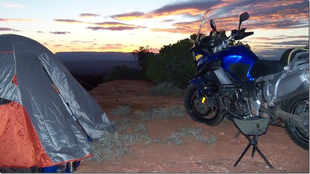
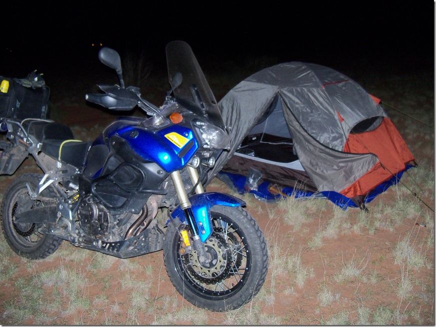
When we seen some flat land we stopped and camped for the night.
So this is the last photographic evidence of the ride. What craziness might have taken place the next morning I will not say. Whether we made it through or came to a washed out impassable ravine and back tracked out I’m not revealing.
It’s like a good movie that I don’t want to ruin the ending for you.
That trail is still there waiting for you to find and explore so if you want to have an adventure you’ll never forget,,, Throw away that stupid GPS, shut off that smart phone [so you can’t cheat on Google Earth] and get out there and search,,, dig deep and don’t give up on that adventure you could be having. If It’s on the map it has to be there.